Where to Picnic Near Aracena: Descansadero de Marimateos
Where to Picnic Near Aracena: Descansadero de Marimateos
Just outside Aracena, Descansadero de Marimateos combines woodland picnic tables, family-friendly space and several rewarding walking options. It also marks the recognised source of the Río Odiel. Here is how to visit responsibly, what grows around the river and which trail suits your day.
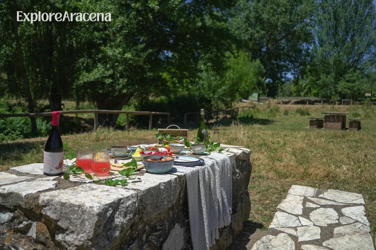
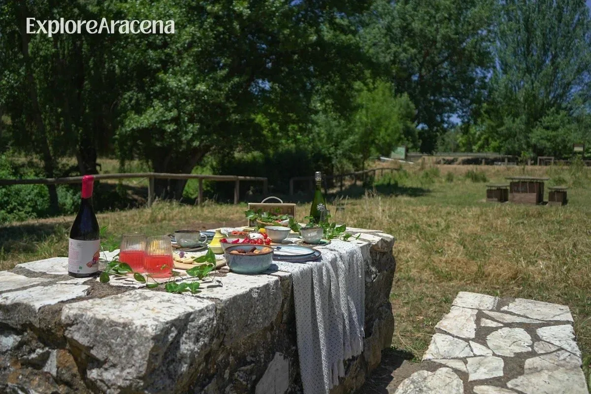
A stone table beneath the trees gives you everything you need for a slow picnic at Marimateos, just outside Aracena.
Marimateos is easy to underestimate. On the map, it appears to be a small recreational area a few kilometres outside Aracena. When you arrive, there are picnic tables, trees, a children’s play area, and a stream narrow enough to step over in places. Nothing announces itself with the scale of a major natural attraction.
Yet this modest patch of woodland marks the officially recognised source of the Río Odiel.
From here, the water begins a journey across Huelva province before reaching the Atlantic estuary at the Marismas del Odiel. That fact changes the character of a picnic. You are not simply borrowing a table in the countryside; you are eating beside the beginning of one of Huelva’s defining rivers, in a place Aracena residents have used for generations to rest, gather, and let children run beyond the limits of town.
Marimateos works equally well as the destination for an easy outdoor lunch, or the halfway pause in a proper circular walk. We think it is at its best when you allow it to be both: a reason to move through the landscape, followed by permission to stop and enjoy its splendor.
Marimateos at a Glance
Official name: Área Recreativa and Descansadero de Marimateos
Location: In the municipality of Aracena, a few kilometres outside town
Setting: A two-hectare rest area beside the Arroyo de Marimateos and the recognised source of the Río Odiel
Facilities: Picnic tables, benches, children’s play equipment and built-in grills. There were no rubbish bins during our visit.
Best for: Families, couples, dog walkers, picnics, and walkers following the Vereda de Sevilla
Best seasons: Spring and autumn; bright winter days also work well
Summer advice: Go early, carry more water than you expect to need and check the fire restrictions
Swimming: This is not a designated swimming area
Drinking water: Bring your own. Do not assume water from the spring or stream is treated for consumption
Cost: Free
The official Junta de Andalucía listing for Marimateos is the best place to check the site description before you travel.
Come for the Picnic First
The river source gives Marimateos its story, but the picnic is what makes the place so easy to enjoy. You do not need to arrive with hiking ambitions. For families, mixed-mobility groups or anyone fitting nature around a day in Aracena, the descansadero can be the entire destination.
Explore the immediate area, find the masonry spring, and then settle at one of the tables beneath the trees. Allow one to two hours, or longer if children are using the play equipment and lunch develops into a proper afternoon. The setting is rustic, but it is not an empty clearing: there are tables, benches, built-in grills, and room to spread out.
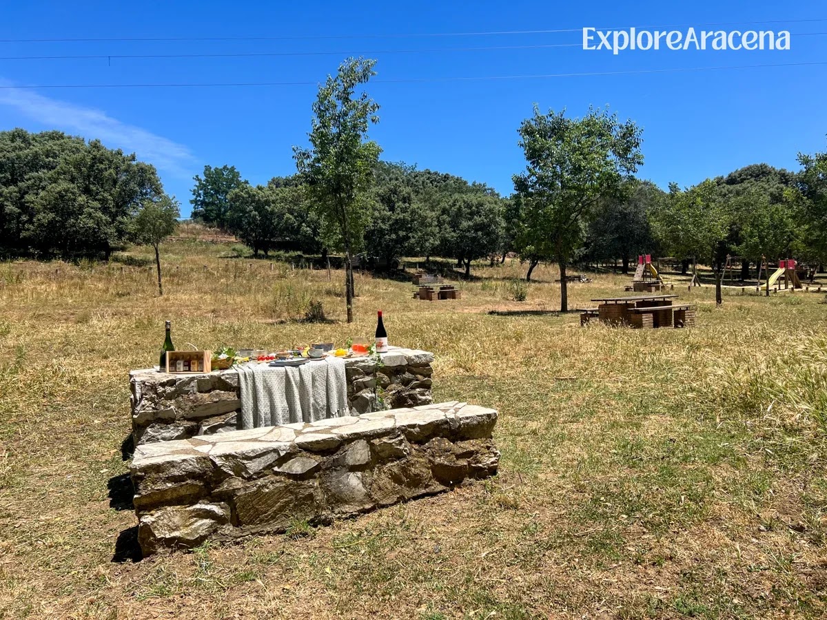
Marimateos has room for lunch and play, with picnic tables beneath the trees and a small playground for children.
There were no garbage bins when we visited, so this is one occasion when the packing list must include the journey home. Bring a sturdy bag and take every piece of waste with you, including fruit peels, napkins and food scraps.
Marimateos also pairs well with a morning visit to the Gruta de las Maravillas or a few hours following our walking route from Aracena’s market to the castle. Pick up lunch in town, spend the afternoon outside and return to Aracena before evening.
What to Pack for a Proper Sierra Picnic
The table is only the beginning. A good picnic here depends on what you remembered in town.
If you are driving to Aracena from Seville, consider stopping at Martes Santo Distillery in Higuera de la Sierra before your picnic. We brought along some of their locally made liqueurs, turning a simple spread of bread, cheese and snacks into something distinctly rooted in the Sierra. Bring glasses, serve modestly, and remember that whoever is driving should save their tasting for later.
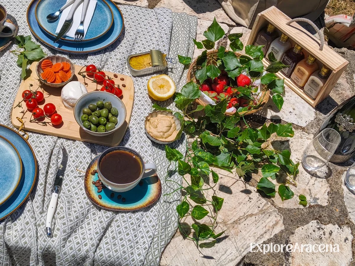
Tasting options from nearby Martes Santo Distillery gives the picnic another connection to the Sierra, alongside good bread, cheese and whatever else you picked up in Aracena.
Bring:
Plenty of drinking water for the picnic and any walking
A blanket, even if you expect to use a table
A sturdy trash bag, as there were no bins during our visit
Sun protection and insect repellent
Closed shoes with enough grip for loose or damp ground
A light layer outside summer, as the shade cools quickly
A basic first-aid kit if you are walking beyond the recreation area
A cool bag for cheese, eggs, mayonnaise and anything else vulnerable to heat
A downloaded map or route track if you plan to walk
Buy lunch in Aracena before you leave. Good bread, local cheese, olives, tortilla, tomatoes, and fruit travel easily. If you eat meat, sliced jamón or lomo makes obvious local sense, but keep it cool and do not leave food exposed while you walk. A pastry from an Aracena bakery is usually the item the whole crew looks forward to!
For more ideas before stocking up, browse our guide to the best restaurants and food stops in Aracena.
Picnic Etiquette: Leave the Place Ready for the Next Group
Marimateos remains appealing because it is treated as shared local space, not disposable scenery. The standard should be simple: when you leave, the next person should not be able to identify where you sat.
Carry all garbage back to town.
Remove fruit skins, nutshells, and food scraps too. “Biodegradable” litter still attracts animals and changes their behaviour.
Never pour oil, coffee, washing water, or drinks into the stream.
Keep music low. People come here partly because they can hear the woodland.
Do not hammer nails into trees, strip bark or break living branches.
Use existing paths instead of widening them.
Do not pick wildflowers, fungi or chestnuts unless you know the land-access and collection rules.
Keep dogs from approaching other picnics, wildlife, and livestock.
Can you use the built-in grills?
The grills are part of the picnic area, but their presence does not guarantee that you may use them on the day you visit. Andalusia applies seasonal restrictions to fire in and around forest land, and the rules can tighten further during high-risk weather. Even designated grills may be prohibited.
Check current Junta de Andalucía and municipal guidance immediately before your picnic. If permission is unclear, bring a cold lunch. Never light a portable barbecue or make a fire elsewhere in the recreational area.
Marimateos has built-in grills, but their use depends on current seasonal fire restrictions. Check the rules before arriving and bring a cold picnic if permission is unclear.
When to Plan Your Picnic
Spring
March through May gives Marimateos its most generous combination of water, green ground and comfortable temperatures. Wildflowers and fresh growth make this the best season for learning the plants around you. Weekends can be sociable, so arrive earlier if you prefer more space.
Summer
The trees provide shade, but shade does not make a hot-weather picnic risk-free. Go in the morning, bring extra water and expect the stream to be at or near its annual low. During a heat alert, keep the visit brief or save Marimateos for another day. Our seasonal guide to the best time to visit Aracena will help you judge what the wider trip may feel like.
Autumn
Early autumn may still resemble summer. After the first sustained rain, the smell of damp earth returns, temperatures soften and the landscape begins changing quickly. Later October and November are particularly good for pairing lunch with a walk, although fallen leaves can disguise uneven ground.
Winter
Choose a clear day and bring layers. Winter offers the best chance of seeing the watercourse with more energy, although rain can leave paths muddy. Check the forecast and avoid heading out when storms or strong winds are expected.
First, the Name: Marimateos
You may see the name written or heard in slightly different ways, including Marimateo and Mari Mateos. The official environmental listing uses Marimateos, as does the name of the arroyo. Descansadero describes what the place historically was: a resting ground connected to a livestock route.
Marimateos sits beside the Vereda de Sevilla, part of the old network of public drove roads used to move animals and connect settlements. These routes were working infrastructure long before they became weekend walking paths. A descansadero gave livestock, herders, and other travellers a place to pause without obstructing the route.
That history helps explain why locals love the area. It was never designed as a spectacle for visitors. It has long been useful. The Junta records that Aracena residents traditionally used these two hectares for leisure and recreation, while the town added tables, benches, and barbecues to support that use. Until relatively recently, the site also hosted the Quema de la Cebolla, an Aracena custom marking the end of Carnival.
The picnic area is therefore not an imitation of rural life placed beside a car park. It belongs to an older route and a continuing local habit of spending free time outside.
The Río Odiel Begins Here
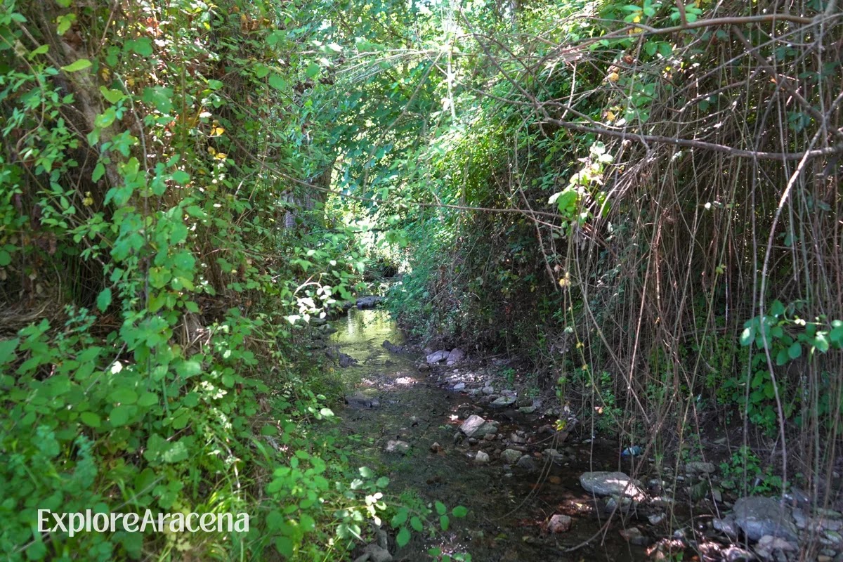
The Río Odiel begins modestly at Marimateos, where the young stream passes beneath the trees before continuing across Huelva.
At Marimateos, a spring feeds the stream through a small masonry structure. This is recognised as the source of the Río Odiel, although the young watercourse may still be referred to locally as the Arroyo de Marimateos or Arroyo Jabuguillo near its beginning.
The scale is wonderfully disproportionate. The Odiel eventually runs towards Huelva and meets the Río Tinto in an estuary of salt marsh, tidal channels, and internationally important bird habitat. At Marimateos, its first appearance is intimate enough that you can sit beside it with a sandwich.
Does the river dry up in summer?
Do not plan your visit around the promise of a full, photogenic stream. Water in the Sierra follows a Mediterranean pattern. The natural park’s official management plan records pronounced changes in flow between years, with the lowest water levels in summer and the highest in winter. The springs and waterways are replenished by rainfall, runoff, and groundwater moving through the Sierra’s rock.
In practical terms, Marimateos can look quite different from one visit to the next:
After sustained autumn or winter rain, the stream is livelier, and the earth around it holds more moisture.
In spring, you may find running water surrounded by the greenest version of the landscape.
After a dry winter or during late summer, the flow may be reduced to a small trickle, and some nearby stretches may appear dry.
A wet year and a drought year should not be expected to produce the same scene.
The spring gives this headwater particular value during dry periods, but that does not make its visible flow constant. Nor should the water be treated as a public drinking supply. Carry all the water you need, and enjoy whatever version of the river the season has produced.
For a wider look at the Sierra’s water landscapes, see our guide to the best places to cool off near Aracena. Marimateos belongs in a different category: come for shade, walking, and a picnic, not for a swim.
What Grows Around Marimateos
One pleasure of Marimateos is the number of plant communities compressed into a relatively small outing. You are close to streamside vegetation, managed dehesa, oak woodland, pasture, and replanted areas. Look carefully and the Sierra stops being a general mass of “green.”
Along the broader route, you may encounter:
Holm oaks (encinas), with dense evergreen leaves and acorns central to the dehesa economy
Cork oaks (alcornoques), sometimes recognisable by their harvested, reddish trunks
Pyrenean oaks (robles melojos or rebollos), the tree that gives El Rebollar its name
Sweet chestnuts, more prominent in other parts of the Sierra but one of the natural park’s signature trees
Ash and elm, associated with cooler or damper ground around watercourses
Strawberry trees (madroños), with red fruit appearing against evergreen leaves in autumn
Rockrose (jara), lavender, thyme, heather, and mastic through the Mediterranean scrub
Hawthorn and wild bramble, providing flowers, fruit, and shelter at the margins of paths
The official route description notes holm oak and cork oak, as well as efforts to re-establish Pyrenean oak around El Rebollar. This matters because the Sierra is not one untouched forest type. It is a worked landscape whose trees reveal grazing, cork harvesting, firewood cutting, replanting, and changing agricultural choices.
If you want to practise identifying the difference, begin with the oaks. Holm oak leaves are usually smaller and darker; cork oak bark is thick and deeply fissured unless it has recently been stripped; Pyrenean oak has lobed leaves and is deciduous or semi-deciduous. By the time you sit down for lunch, the woodland will already look less anonymous.
The Natural Park management plan gives the fuller ecological picture, including the park’s oak forests, chestnut groves, alder woods and wet heaths.
Wildlife: What You May See and What You Will Probably Hear
Marimateos is not a wildlife park, and the animals do not arrange themselves beside the picnic tables. Your chances improve when you arrive early, keep voices low, and spend some time watching the edges of the clearing.
Birdlife is the most accessible. Listen for woodpeckers, tits, nuthatches, and jays in the trees, while swallows and birds of prey may pass overhead. Around water, dragonflies, damselflies, and amphibians become part of the smaller scene. The natural park’s springs and ponds support particularly valuable invertebrate and amphibian communities.
Across the wider Sierra live wild boar, red deer, foxes, genets, mongooses, and otters, but a busy lunchtime is unlikely to produce a mammal parade. Tracks, disturbed soil, scat or a sudden movement at the woodland edge are more realistic signs. You may also meet the animals that make this a lived rural landscape: Iberian pigs beneath the oaks, cattle, horses, or sheep in adjoining fields.
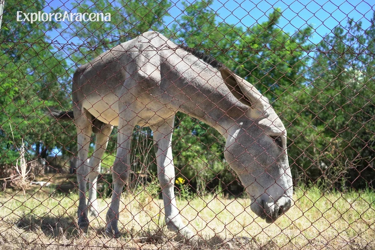
Horses, cattle, sheep and Iberian pigs are part of the working landscape around Marimateos, so walkers should close gates and give animals plenty of room.
Treat every gate as part of someone’s working day:
Close it behind you if you found it closed.
Do not feed livestock or wildlife.
Keep dogs under close control, especially near animals and nesting birds.
Give cattle a wide berth and never place yourself between a cow and calf.
Watch wildlife from a distance rather than following it for a photograph.
Hiking options to pair with your picnic
You do not need to hike to justify a visit to Marimateos. If you do want more distance, these two routes allow the picnic to remain the centre of the day rather than something eaten hurriedly at the side of a trail.
Option 1: Walk from Aracena to Marimateos and return the same way
For a longer walk without completing the full circuit, follow the first section of the La Barquera–El Rebollar route from Aracena to Marimateos, then retrace your steps after the picnic.
The route begins near the traditional Puente de Carboneras and initially follows the Camino de El Rebollar (PR-A-46). After approximately 1.05 kilometres, you turn onto the Camino de la Barquera, which joins the historic Vereda de Sevilla and continues towards the descansadero.
Returning by the same path allows you to avoid the 900-metre roadside section included in the full circuit. It is a useful compromise if you want to reach Marimateos on foot while keeping the walk entirely on rural paths.
You can review the complete route on the official Aracena tourism website and use the corresponding Wikiloc GPS track for navigation. For this shorter version, stop at Marimateos and retrace the first section rather than continuing towards El Rebollar.
Download the track before leaving and pay close attention at the junction between El Rebollar and Camino de la Barquera. Do not rely on Google Maps alone for the walking route, as locally documented mapping errors around these paths can lead towards private property.
Option 2: Complete the La Barquera–El Rebollar circuit
For a fuller morning, the official Aracena tourism route links La Barquera, Marimateos and El Rebollar in an 8.9-kilometre circular walk. The hike is an estimated 2 hours and 30 minutes, with moderate difficulty.
The circuit begins around the traditional Puente de Carboneras and initially follows the El Rebollar path, part of the PR-A-46. After roughly 1.05 kilometres, it turns onto the Camino de la Barquera and joins the Vereda de Sevilla towards Marimateos. From the descansadero, the route returns via El Rebollar.
This is the best option if you want the picnic to divide a real walk rather than replace one. It passes oak woodland, small agricultural plots, and dehesa where Iberian pigs may be grazing during the montanera.
There is, however, a detail that should determine whether you choose it: the trail includes approximately 900 metres along the HV-3105 road between Marimateos and El Rebollar. Walk facing traffic where appropriate, stay highly visible, and keep children and dogs beside you. If roadside walking changes the mood of the day, choose the out-and-back option instead.
Review the official La Barquera–El Rebollar route description before setting out. For more substantial village-to-village options, our Sierra de Aracena hiking guide compares routes, seasons, and difficulty levels.
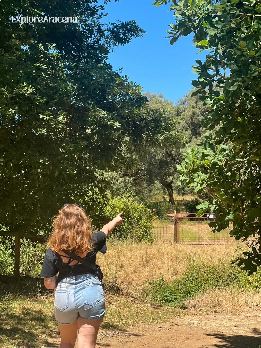
You can keep the visit centred on lunch or follow the surrounding paths for a longer walk through the wooded countryside.
Who Will Enjoy Marimateos Most?
Choose Marimateos if you want:
An outdoor lunch close to Aracena without turning the day into a major expedition
A nature stop that children can enjoy
A picnic with enough history and ecology to reward curiosity
A starting point for learning how the Sierra’s drove roads, dehesa, and waterways connect
A moderate circular walk with lunch waiting halfway
Somewhere locals actually use, rather than a viewpoint arranged solely around visitors
It is less suitable if you need staffed facilities, a guaranteed accessible trail, a designated swimming place, or an uninterrupted wilderness experience. The play area, tables, and local popularity are part of the setting. So are roads, livestock and the practical traces of a working landscape.
If Marimateos isn't quiet enough for you, check our guide to secret nature spots near Aracena which covers a few more local favourites.
A Half-Day Plan from Aracena
If you have one free afternoon, we would arrange it like this:
Pick up bread, fruit, drinks and picnic food in Aracena.
Check the temperature, fire-risk notices and your chosen route.
Walk part of the Vereda de Sevilla or begin the full La Barquera–El Rebollar circuit.
Stop at Marimateos long enough to eat without watching the clock.
Find the masonry spring and consider the improbable distance between this young stream and the Odiel estuary.
Return by the same path, or complete the circuit if you are comfortable with its road section.
Finish back in Aracena for a drink in town.
This is why Marimateos earns more than a line in a list of picnic grounds. It explains the Sierra in miniature. An old livestock route becomes a walking trail. Oak woodland opens into a communal resting place. Local families inherit the same patch of shade used before them. Beside it all, the Odiel starts modestly and heads across Huelva.
Bring lunch, but bring your attention too. The second weighs nothing and improves the afternoon considerably.
Marimateos Picnic Checklist
Check the weather and current fire restrictions
Pack drinking water and a cool bag
Bring a blanket and sturdy trash bag
Pick up bread, local cheese, olives, tortilla, fruit or pastries in Aracena
Download the route if you plan to walk
Keep children and dogs close near livestock and roads
Visit the source of the Río Odiel
Carry every piece of garbage back to town
Frequently Asked Questions
Where is Descansadero de Marimateos?
It is in the municipality of Aracena, a few kilometres outside the town, beside the Vereda de Sevilla and the source of the Río Odiel. Search for Área Recreativa de Marimateos and verify your driving or walking route before leaving.
Is Marimateos free to visit?
Yes. It is a public recreational area with no admission ticket.
Are there picnic tables?
Yes. There are picnic tables, benches, children’s play equipment and built-in grills. We did not find any trash bins during our visit, so bring a sturdy bag and carry everything back to town.
Can you barbecue at Marimateos?
Do not assume so. Although barbecue structures have existed at the site, fire use is controlled by seasonal rules and may be completely prohibited during high-risk periods. Check current official restrictions immediately before visiting.
Can you drink from the source of the Río Odiel?
Bring your own drinking water. The presence of a spring does not confirm that the water is treated, monitored or currently safe to drink.
Can you swim there?
Marimateos is not a designated swimming area. The headwater may be shallow or reduced substantially in dry periods.
Does the Río Odiel always have water at Marimateos?
Visible flow varies with rainfall, groundwater and season. The Sierra’s waterways generally reach their minimum flow in summer and maximum in winter, with marked differences between wet and dry years.
Is Marimateos suitable for children?
The recreation area itself is a strong family option and includes a play area. The full 8.9-kilometre circuit is a separate decision because it includes a road section. Choose the visit according to the youngest walker, the weather and your comfort around traffic.
Can I bring a dog?
Yes, with responsible control. Keep dogs close around livestock, wildlife, other families and the road. Carry water for them and remove all waste.